Photography & Film
Aerial Drone Shot
Style guide
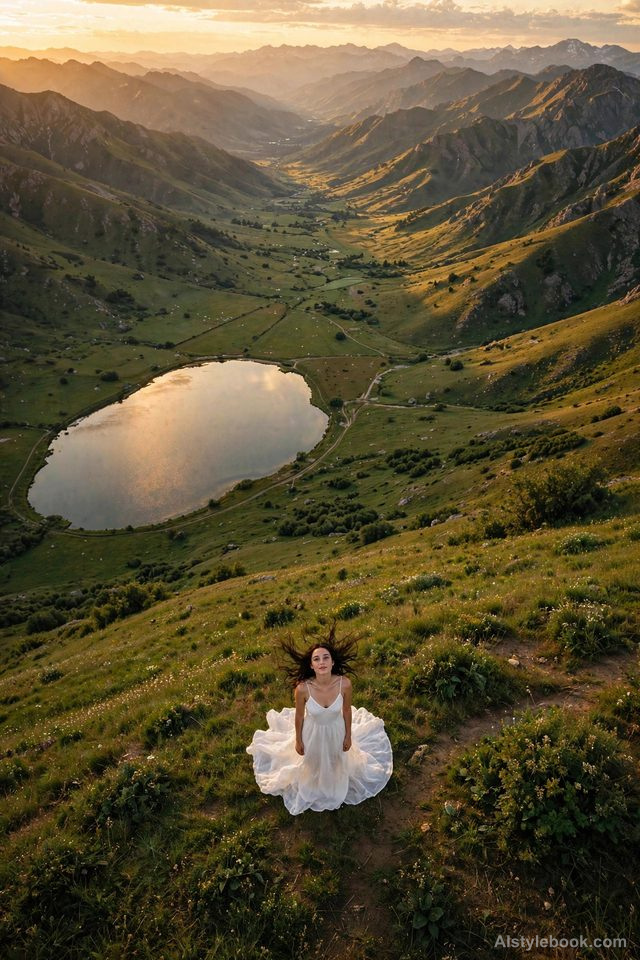
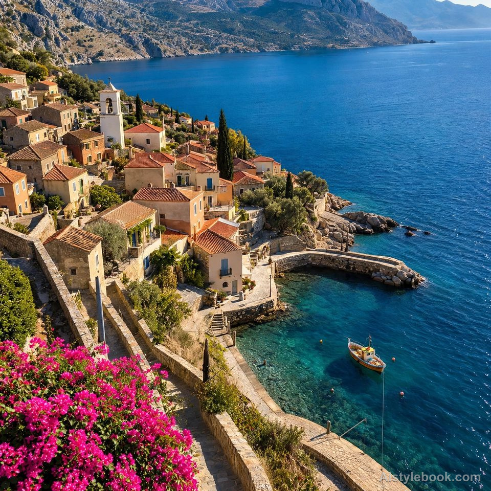
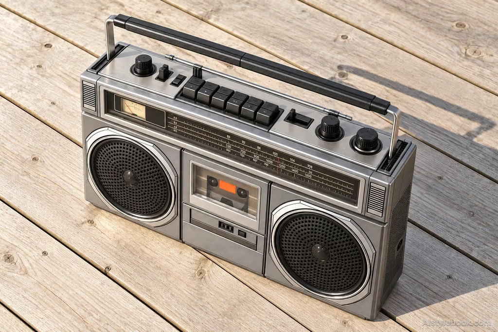
A consistent elevated viewpoint reveals clear spatial relationships with believable scale and naturally transparent color.
The visual language
What is Aerial Drone Shot?
A consistent elevated view organizes roads, roofs and ground textures into readable spatial relationships. Distant contrast recedes while changes of scale remain consistent with height.
Aerial views turn terrain into graphic relationships while small objects restore scale.
Fields may resemble colored paper, until a few tiny cars reveal the size of the road crossing them.
How the style changes different subjects
- Portrait
- Position within the setting matters more than expression; the figure and its shadow become small scale markers.
- Landscape
- Roads, coastlines and buildings form large patterns that emphasize spatial relationships and terrain.
- Objects
- Objects read as arranged geometric shapes, with top surfaces, spacing and shadows taking priority over side details.
- Subjects
- Choose coasts, terraces, road junctions or orderly object arrangements. Figures work well as scale references in open settings.
Background
The Bibliothèque nationale de France documents Nadar’s balloon photography in 1858 and his plans for photographic mapping. This elevated-view tradition predates drones, turning familiar spaces into terrain and positional relationships.
Bring the style to your photos
Reusable style prompt for Aerial Drone Shot
Organize space through a realistic elevated, downward-looking viewpoint that clearly reveals top surfaces, outer contours, and relative positions. Keep the viewing direction consistent, with believable scale, height differences, and depth. Gradually reduce distant contrast through natural atmospheric perspective. Use harmonious colors, clear detail, and photographically plausible lighting. Avoid fisheye distortion or incompatible viewpoints stitched together.Use the same style prompt for portraits, landscapes and objects.
Create with this styleKeep exploring


